Island Walks
From an extinct volcano on Mull to a landslip in Northern Skye

The Quiraing, Isle of Skye
THE LANDSLIP
An ancient geological shift on the Trotternish ridge. The path winds through a cathedral of rock formations—The Needle, The Table, and The Prison. It is a landscape of scale, often shrouded in a heavy, sea-born mist.
7km / Moderate

Circular, Isle of Raasay
THE COASTAL LOOP
A meandering exploration of Raasay’s southern coastline. The path transitions from old-growth woodland —noted for its dense moss and fungi—to open, secluded beaches. From the shoreline, there are unobstructed views across the water to the Cuillin of Skye.
7km / Easy-Moderate
Raasay Distillery has an excellent cafe.

Ormaig, Isle of Ulva
THE SOUTHERN COAST
The route climbs through old-growth woodland through the ruins of abandoned clearance villages. A slow, coastal walk where the only company is likely sea eagles and basking seals.
13km / Moderate
Ben More, Isle of Mull
THE VOLCANIC PEAK
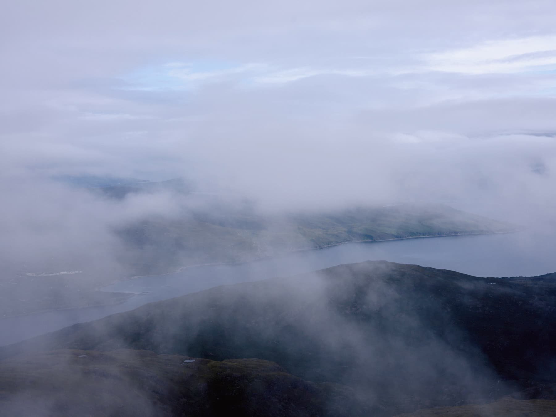
A 60-million-year-old extinct volcano and the highest point in the Scottish Isles at 966m. Its triangular silhouette dominates the Mull skyline. The ascent is rugged and unrelenting, providing a vast Atlantic panorama from the summit.
9.5km / Strenuous

Blà Bheinn, Isle of Skye
THE ISOLATED CITADEL
The only stand-alone Cuillin on the island. Blà Bheinn (Blaven) is a dark, volcanic fortress that offers a steep, rocky ascent. While more accessible than the main ridge, it requires a scramble through scree to reach a summit that overlooks the heart of the island.
8km / Strenuous
Goatfell, Isle of Arran
THE HIGH CORBETT
The granite peak that defines the Arran skyline. At 874m, Goatfell is technically a ‘Corbett’, though the steep ridges give it a mountainous character. The view from the summit stretches across the Firth of Clyde to the coast of Ireland.
11km / Moderate-Strenuous
PRACTICALITIES
Logistics
CalMac ferries serve all five islands. Ulva is reached via a three-minute, on-demand crossing from Mull; signal the ferryman using the red board at the jetty.
Navigation
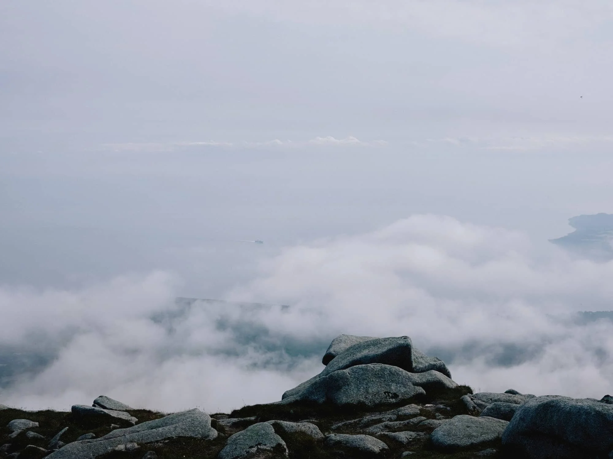
Hebridean weather is volatile. Carry a map, compass, and GPS. Navigation on Blà Bheinn and Ben More is difficult in low cloud.